QGreenland Beginner's Tutorial Series


Image
Screenshot of the Beginner's Tutorial Series playlist on YouTube.
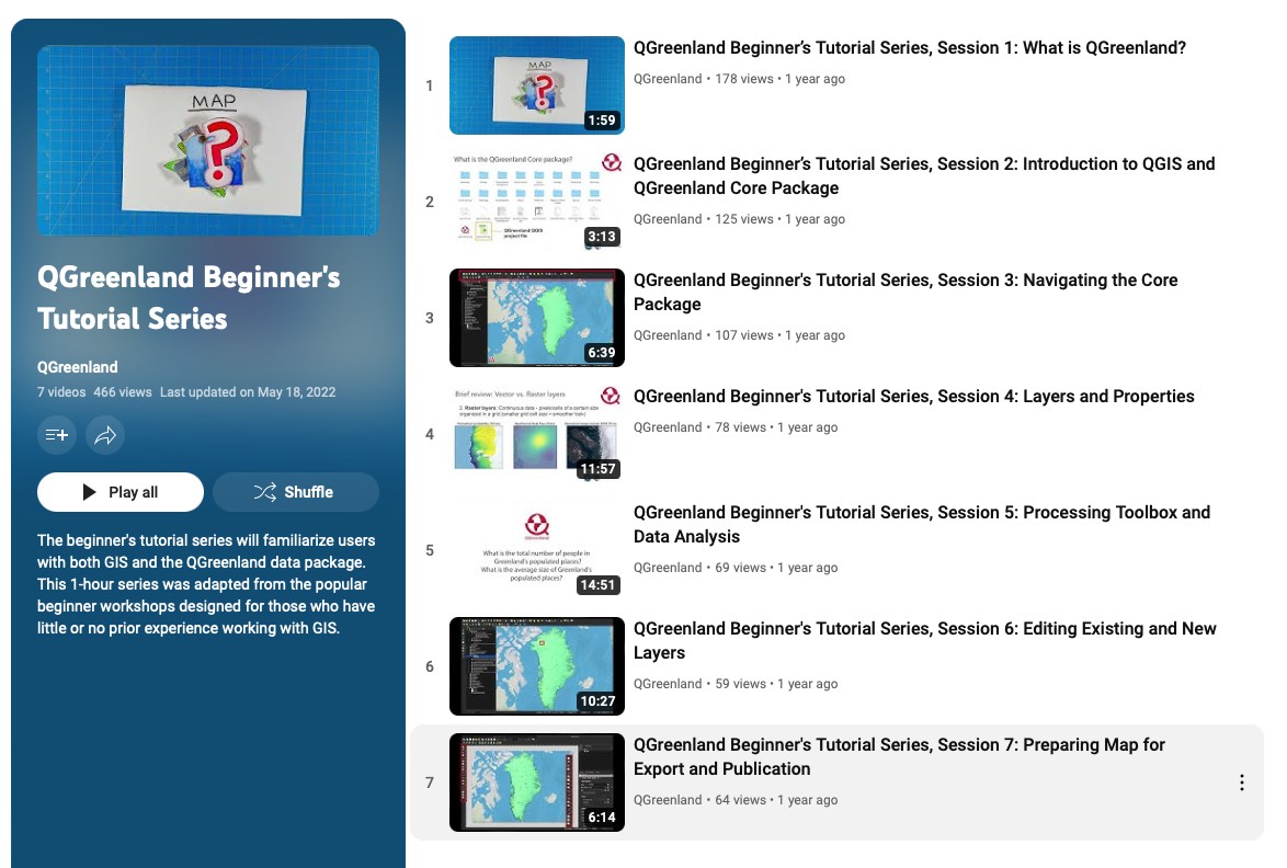
Beginner's Tutorial Series Playlist


In this video series, you will become familiar with QGIS, learn how to download and browse the QGreenland Core data package, and explore the basic geospatial data anlysis tools that make QGreenland a powerful tool for research, education, and local decision making. The video tutorial series contains 7 short video sessions, for a total of one-hour.

Topic
geospatial technology
Resource Type
tutorial
Course Type
Beginner GIS and/or QGIS Users
Context

The Beginner's Tutorial Series is appropriate for those users who are completely new to geographic information systems (GIS) or QGIS. This series is designed to demonstrate step-by-step how to download QGreenland and get started exploring and analyzing data in QGIS.

Goals:

  • Learn what data is included in the QGreenland Core Package
  • Analyze Greenland data using geoprocessing tools
  • Find analysis tools and data relevant to you or your classes
Teaching Materials

Session 1: What is QGreenland?


Session 2: Introduction to QGIS and QGreenland Core Data Package


Session 3: Navigating the Core Package


Session 4: Layers and Properties


Session 5: Processing Toolbox and Data Analysis


Session 6: Editing Existing and New Layers


Session 7: Preparing Map for Export and Publication